Jillian Mitchell PhotographyJillian Mitchell PhotographyJillian Mitchell Photography
  • Home
  • The Gallery
    • Shop Online
  • About Jillian
  • Exhibitions
  • Stories
  • Contact
  • Home
  • The Gallery
    • Shop Online
  • About Jillian
  • Exhibitions
  • Stories
  • Contact

Phillip Island Aerials
26 September 2026 admin 0 Comments
Featured In the Gallery travel
aerial Australia coastal coastline jillian mitchell landscape nature photography oceanviews photographer photography victoria
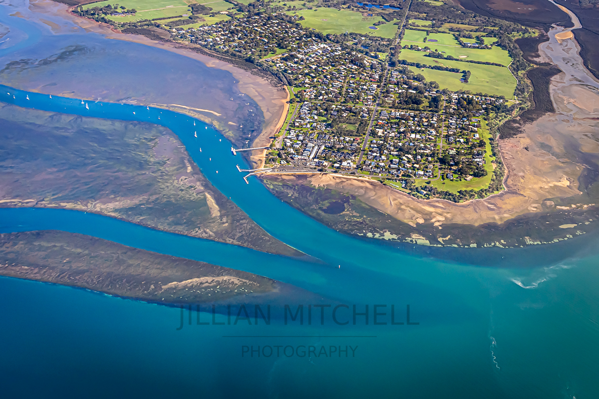
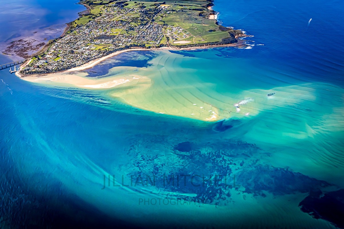
Spectacular views across the Narrows to San Remo, during a scenic flight around Phillip Island.

This new series was created during one continuous aerial flight around Phillip Island, capturing the island’s coastline, estuaries, and townships in a cohesive visual sequence. Working from above offered a chance to explore the island’s natural structure — the interplay of colour, depth, and form that emerges when familiar places are viewed from a higher perspective.

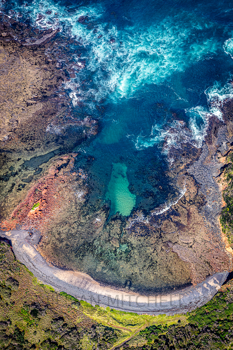
Across this single orbit, the landscape shifted from sculptural rock formations and powerful surf breaks to quiet estuarine curves, farmland geometry, and the soft grid of coastal townships. The water revealed its own language: turquoise shallows, deep indigo channels, sandbars shaped by tide and time. Each photograph sits within the same journey, yet each highlights a distinct facet of the island’s character.

Together, these works form a unified study of Phillip Island’s geography and coastal dynamics. They mark the beginning of a broader aerial project — one that starts with this uninterrupted view of the island’s contours, colours, and quiet complexity.

There will definitely be more to come from this series as I work through the several thousand images captured during the flight!!!
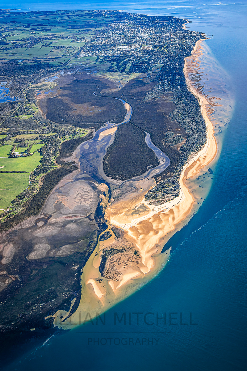
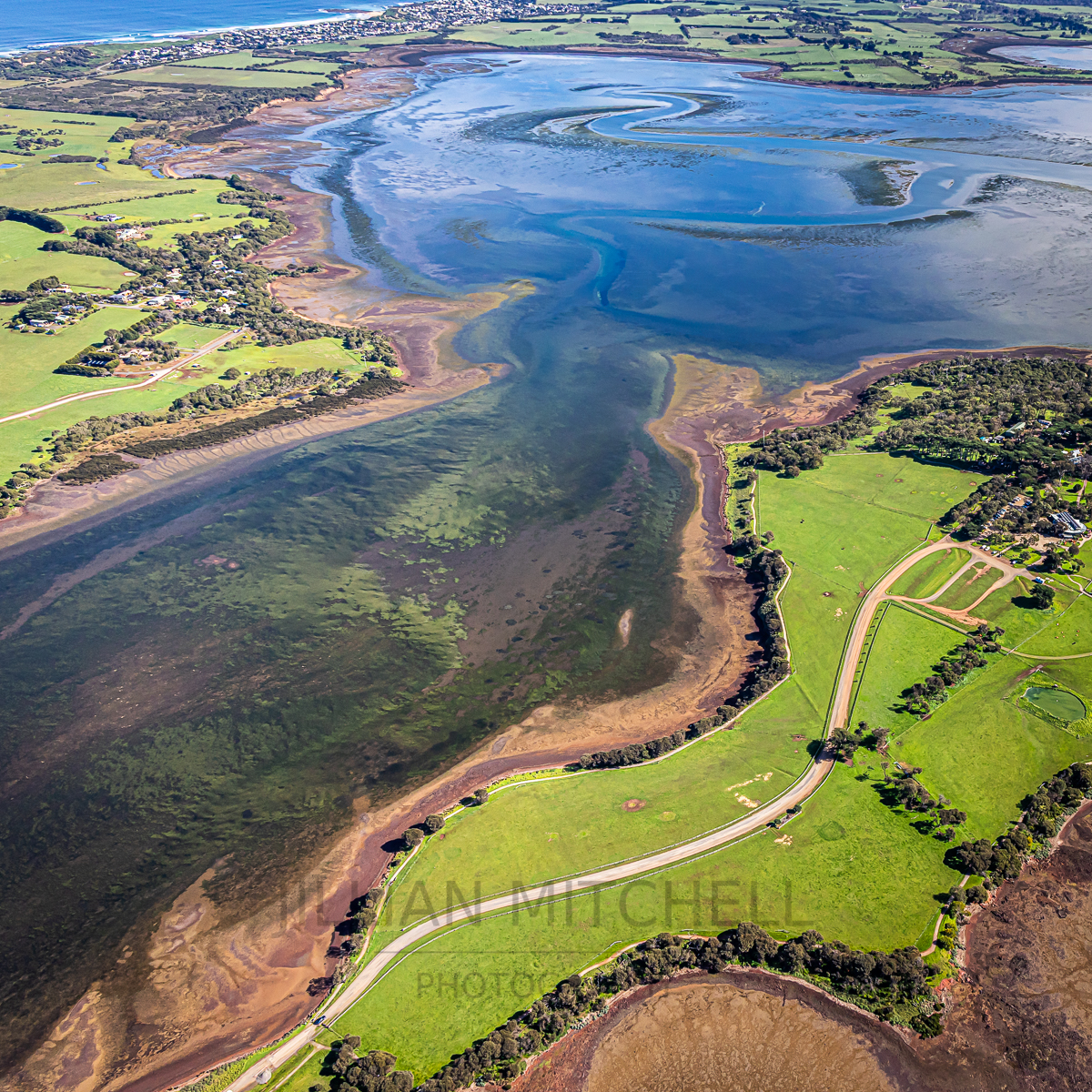
Stunning aerial view of Rhyll Inlet and Wetlands along the coast to Silverleaves, Cowes and Ventor on Phillip Island.
Stunning aerial view of Sunderland Bay along Phillip Island's Southern shore.
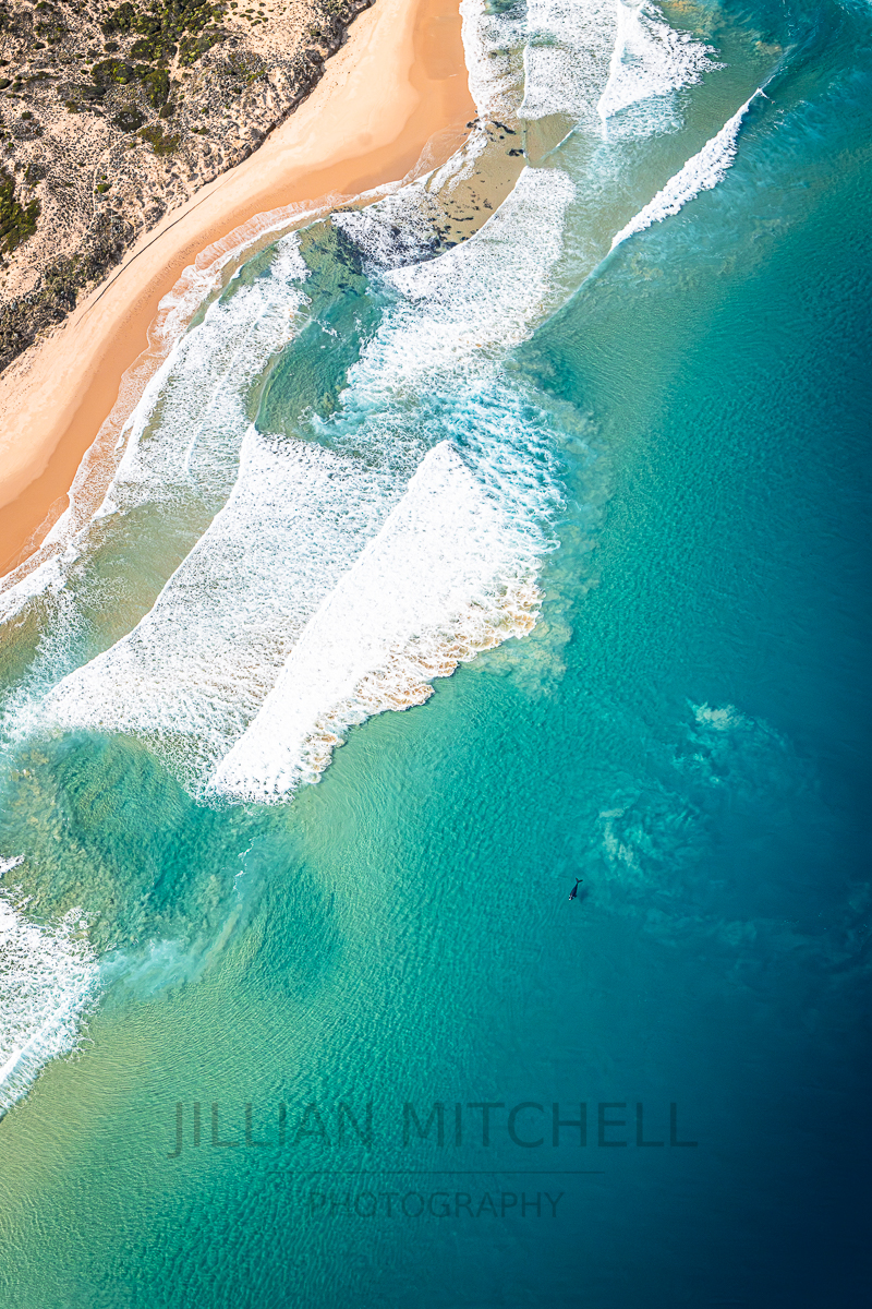
Gorgeous aerial view of Cape Woolamai beach with turquoise waters  rolling in whilst an endangered Southern Right Whale swims just offshore.
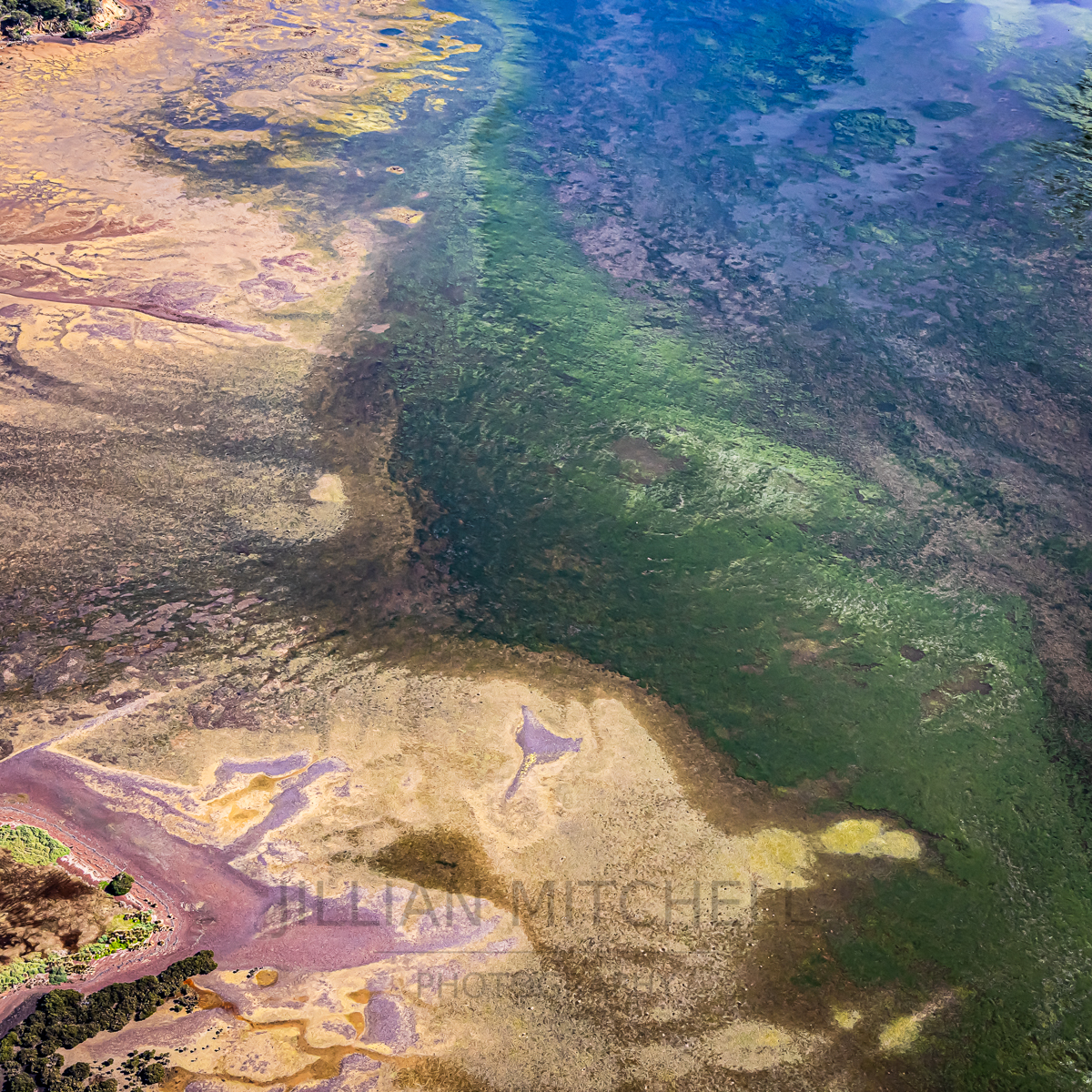
Beautiful aerial view of the details of Churchill Island Marine Park at low tide with seagrass fields and mudflats.
Stunning aerial views of Churchill Island and the Churchill Island Marine National Park with Phillip Island in the background.
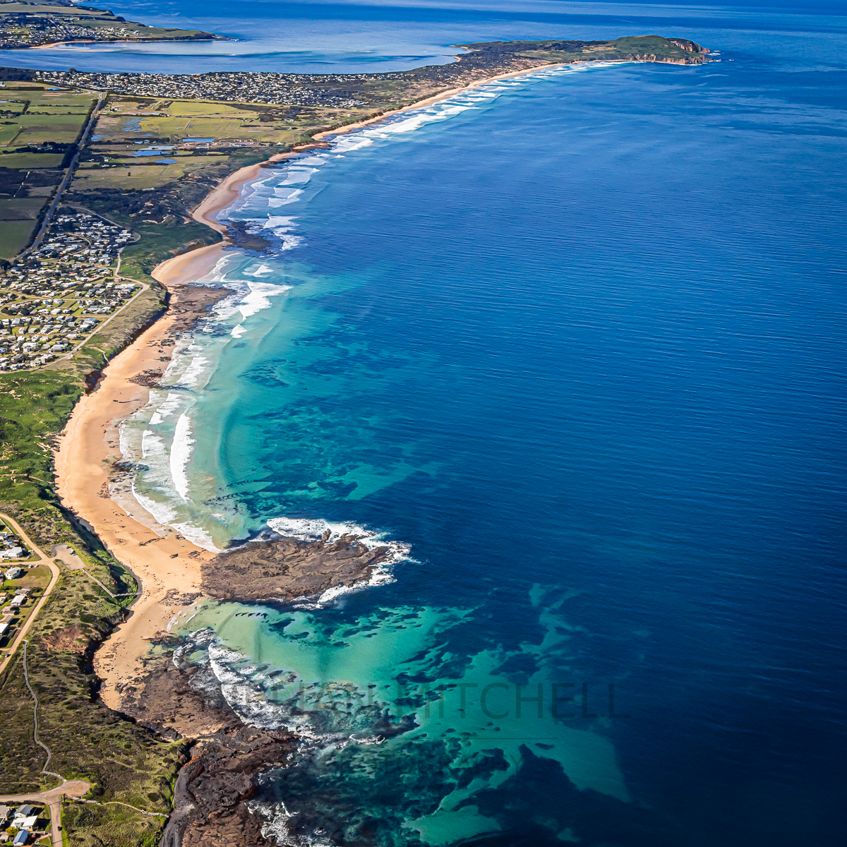
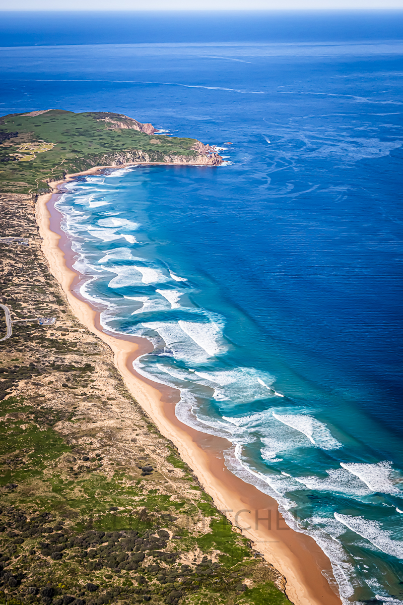
Aerial view along the southern coast of Phillip Island from Sunderland Bay to Cape Woolamai.
Low tide at Rhyll and the entrance to the Rhyll Wetlands, Phillip Island, Victoria, Australia.
Gorgeous Gossard Point from the air in Ventnor, Phillip Island.
The very beautiful Smiths Beach and YCW Beach on the southern coastline of Phillip Island, Victoria, Australia.
Spectacular aerial view across The Narrows and sandbars off San Remo, Victoria, Australia.
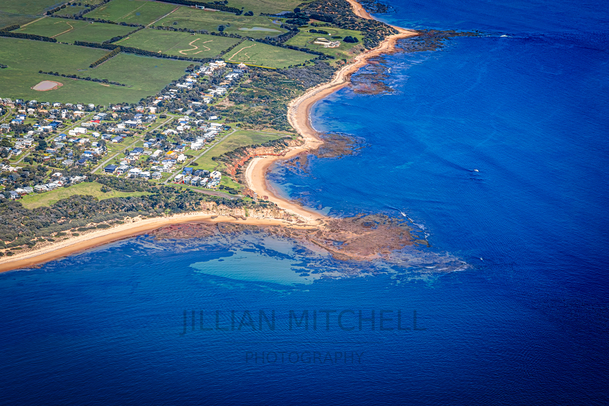
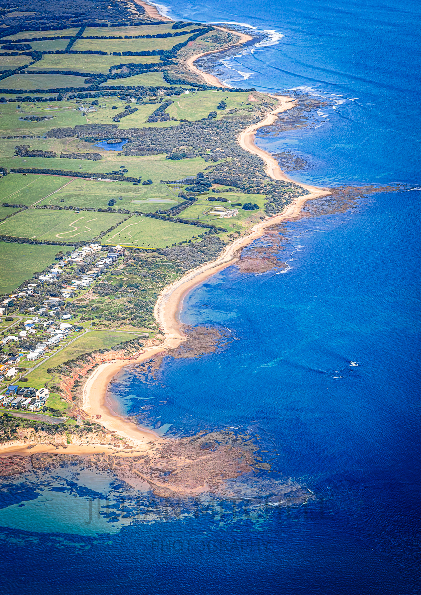
The beautiful coastline running from Gossards Point, Ventnor along towards the Nobbies on Phillip Island, Victoria, Australia.
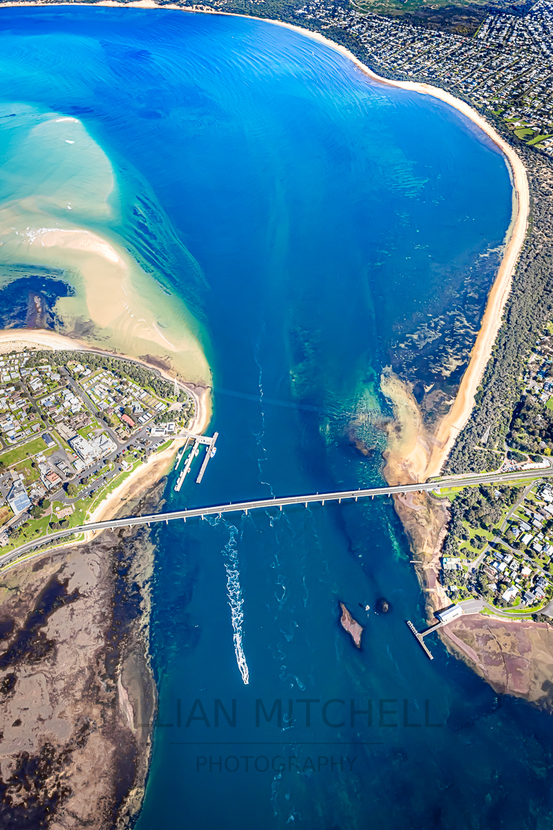
What a spectacular gateway to the Island!     The Phillip Island Bridge anchors this aerial view between San Remo and Cape Woolamai/Newhaven.
Spectacular Cape Woolamai!   Incredible aerial view of the coastline to Cape Woolamai on Phillip Island, Victoria, Australia.
previous 172 Mornings in 2020 at Surf Beach, Phillip Island
next Wonderful Wutaishan, China
  • Email: info@jillianmitchellphotography.com
    Ph: +61 426 848 663

    Location: Surf Beach, Phillip Island, Victoria

© Jillian Mitchell Photography 1997 – 2026, All Rights Reserved
Fine art photography from Phillip Island and the wider world
Prints • Gallery • Commissions • Wildlife, Travel, Nature & Cultural Photography
  • Home
  • The Gallery
    • Shop Online
  • About Jillian
  • Stories
  • Exhibitions
  • Contact
  • Privacy Policy
This site uses cookies. By continuing to browse the site, you are agreeing to our use of cookies.
OK Learn More