Phillip Island Aerials
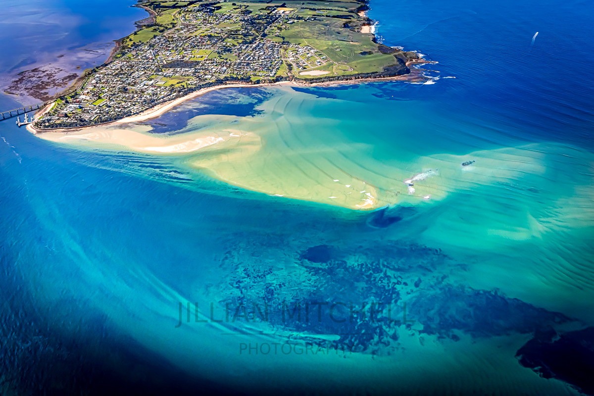
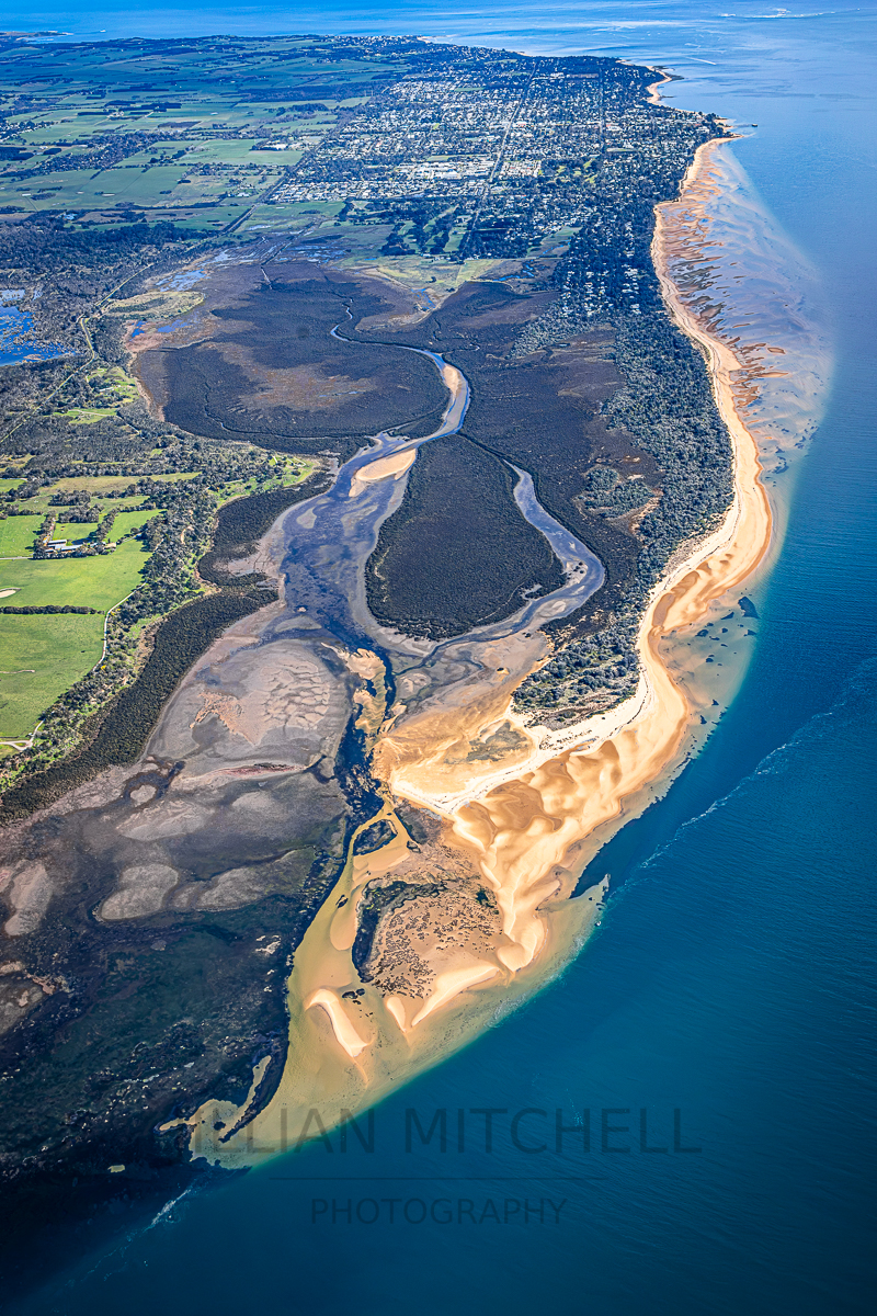
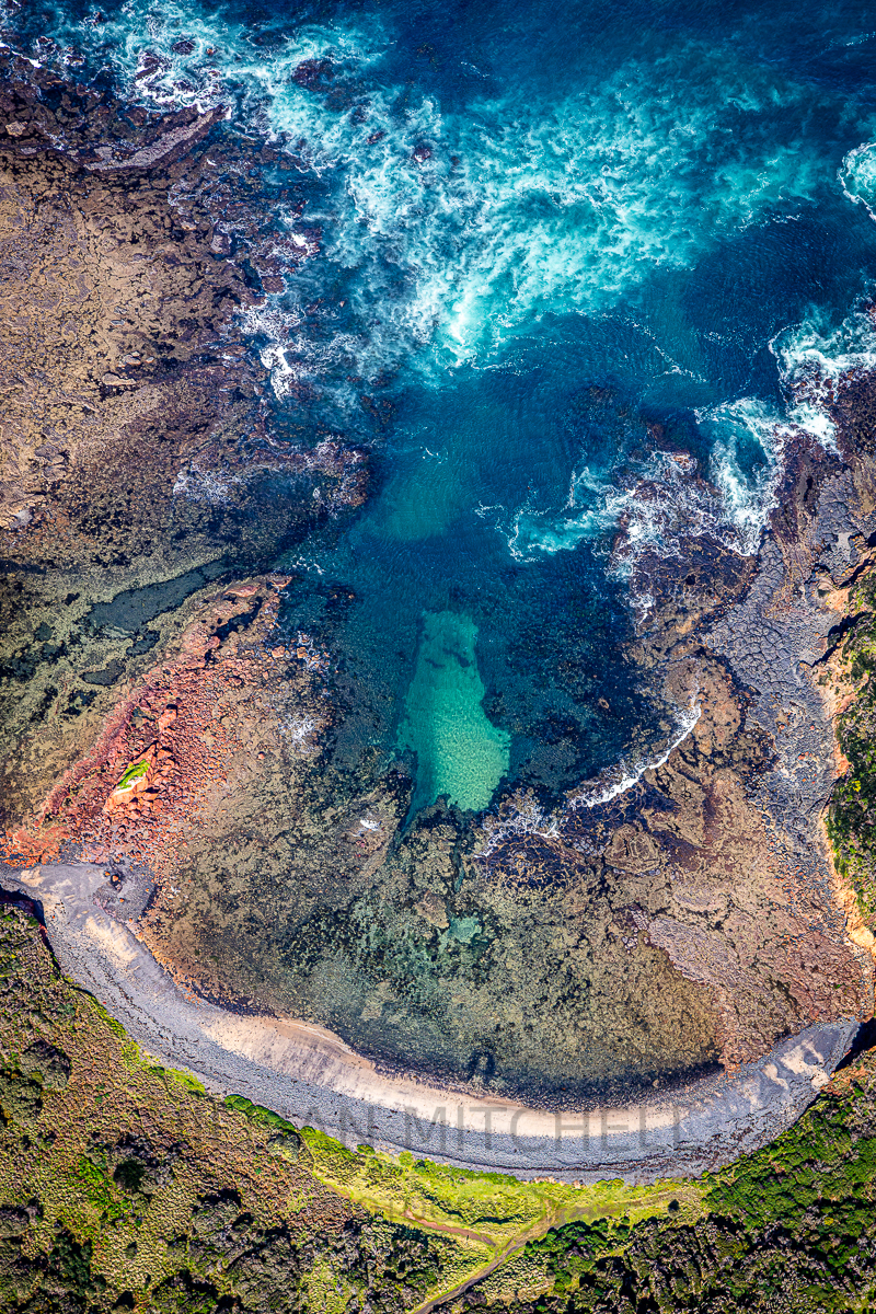
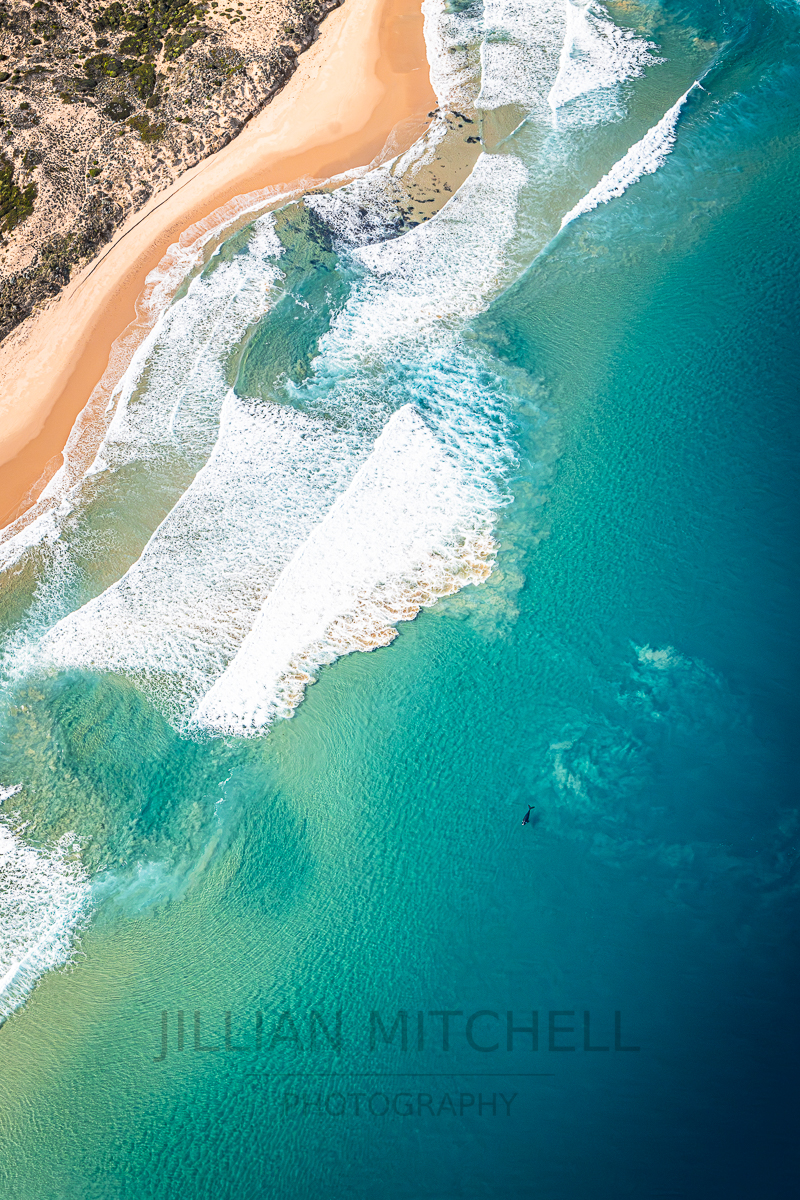
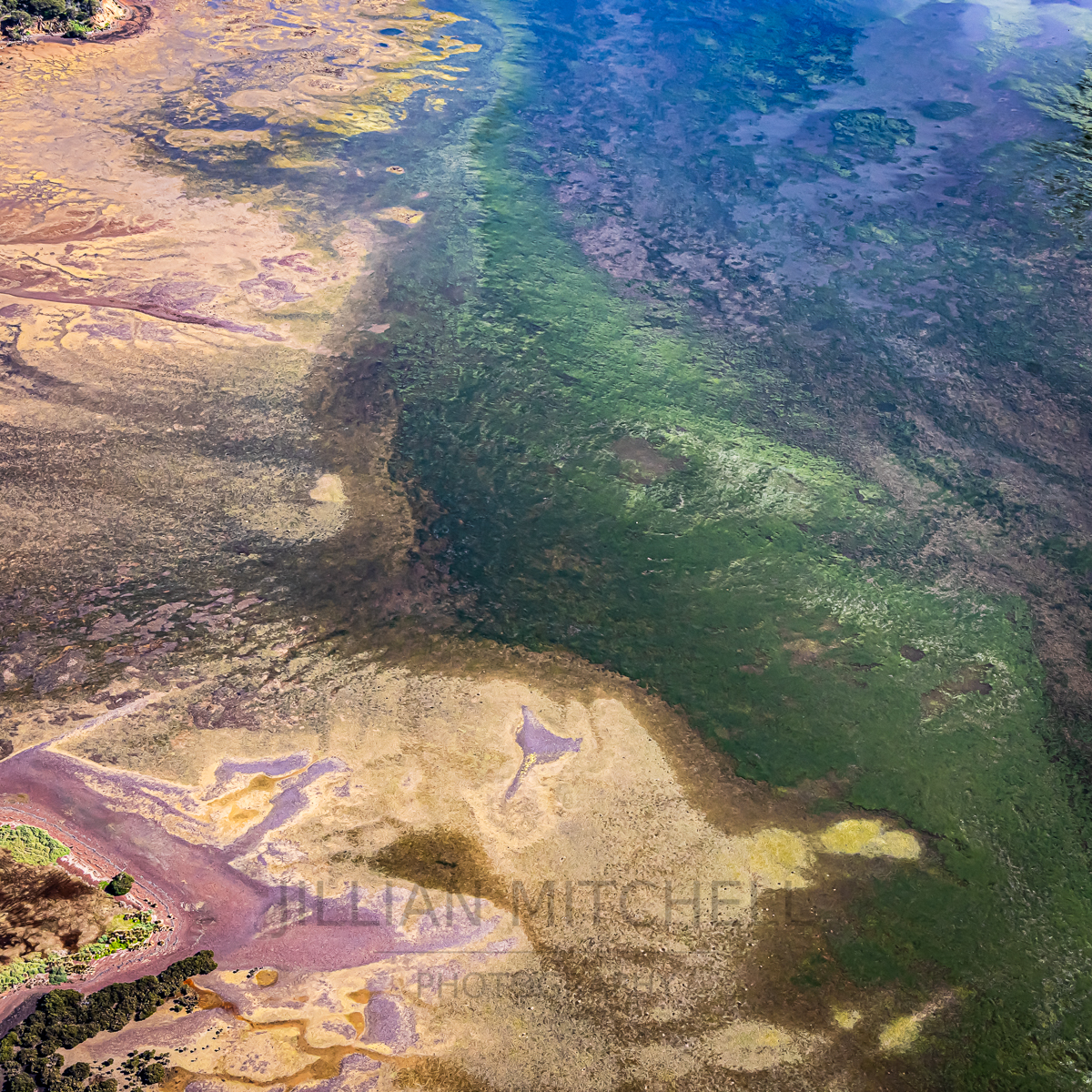
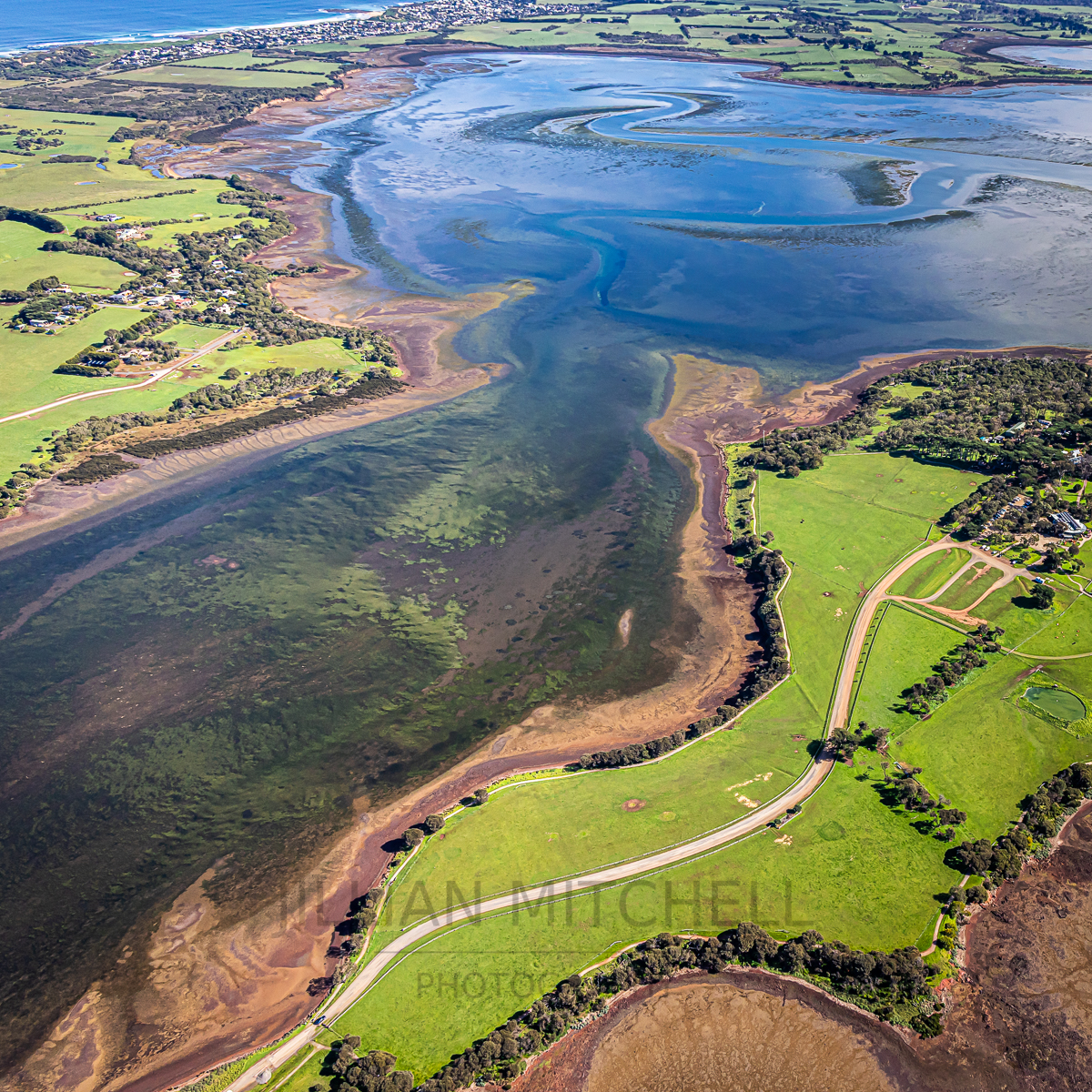
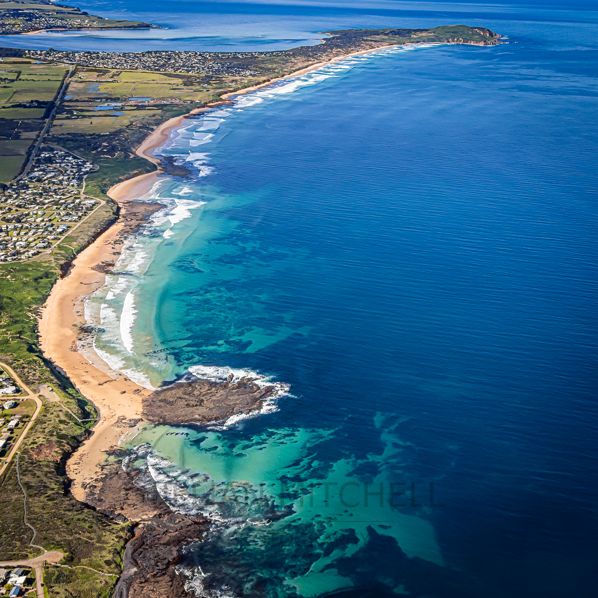
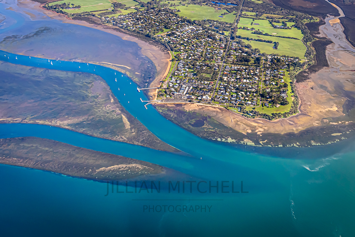
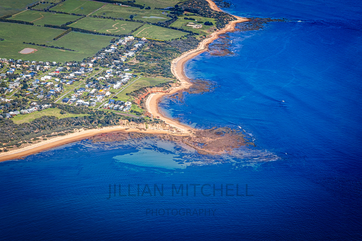
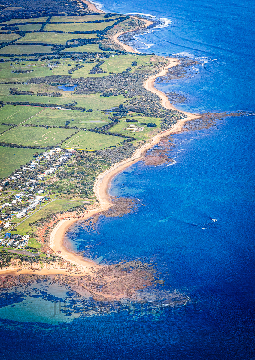
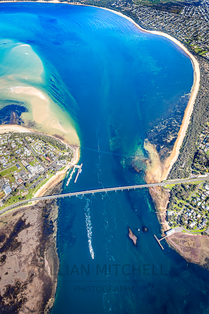
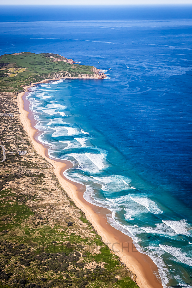
This new series was created during one continuous aerial flight around Phillip Island, capturing the island’s coastline, estuaries, and townships in a cohesive visual sequence. Working from above offered a chance to explore the island’s natural structure — the interplay of colour, depth, and form that emerges when familiar places are viewed from a higher perspective.
Across this single orbit, the landscape shifted from sculptural rock formations and powerful surf breaks to quiet estuarine curves, farmland geometry, and the soft grid of coastal townships. The water revealed its own language: turquoise shallows, deep indigo channels, sandbars shaped by tide and time. Each photograph sits within the same journey, yet each highlights a distinct facet of the island’s character.
Together, these works form a unified study of Phillip Island’s geography and coastal dynamics. They mark the beginning of a broader aerial project — one that starts with this uninterrupted view of the island’s contours, colours, and quiet complexity.
There will definitely be more to come from this series as I work through the several thousand images captured during the flight!!!